SE shoulder of Mt Peechee 122720 Scramble on 4-Nov-2026
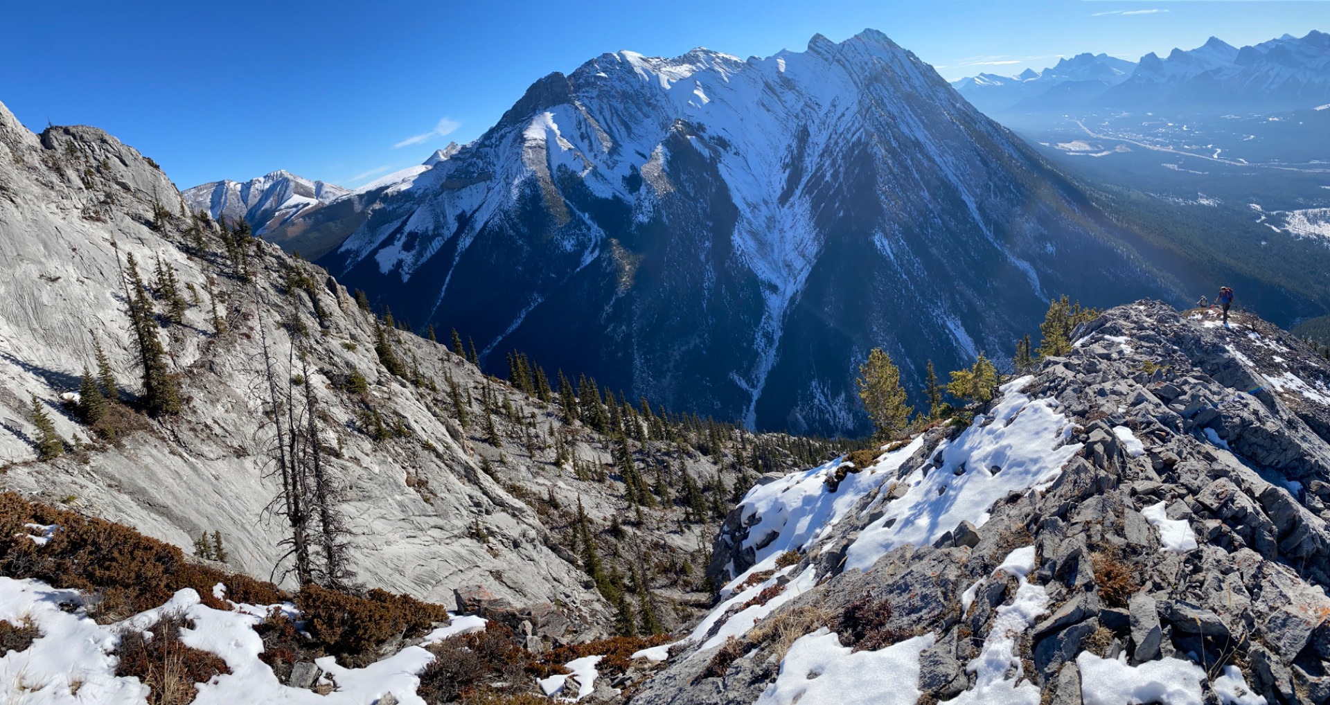
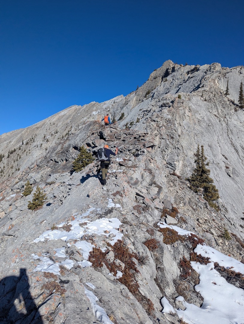
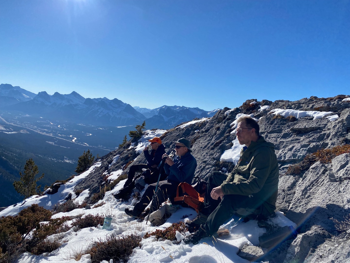
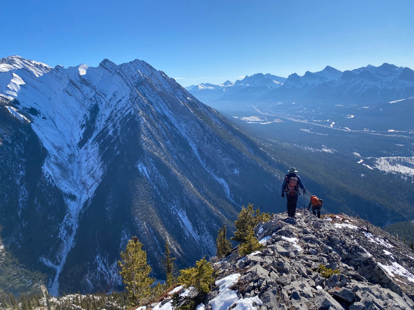
This was a new exploration for all of us in beautiful weather and excellent conditions. I've included lots of photos because most Ramblers will never have been here.
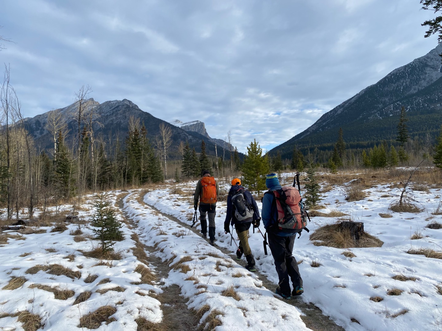
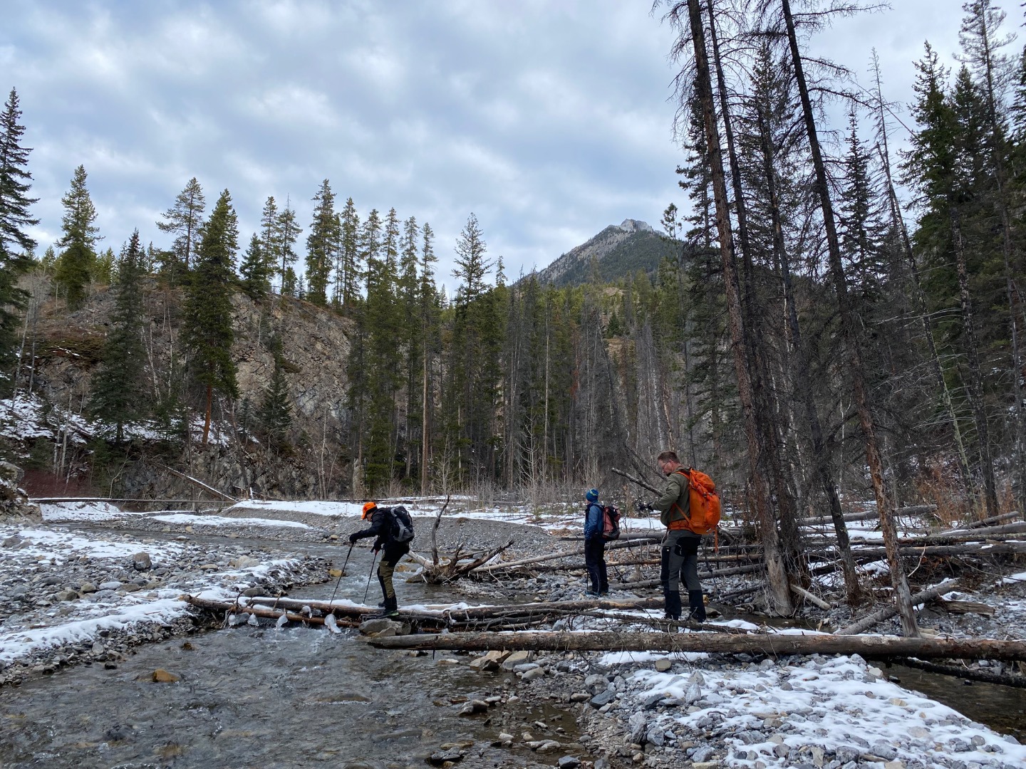
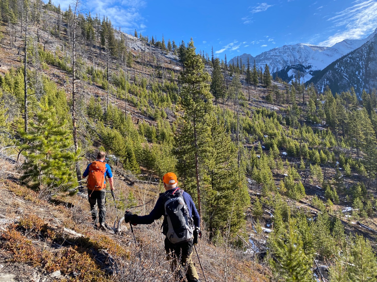
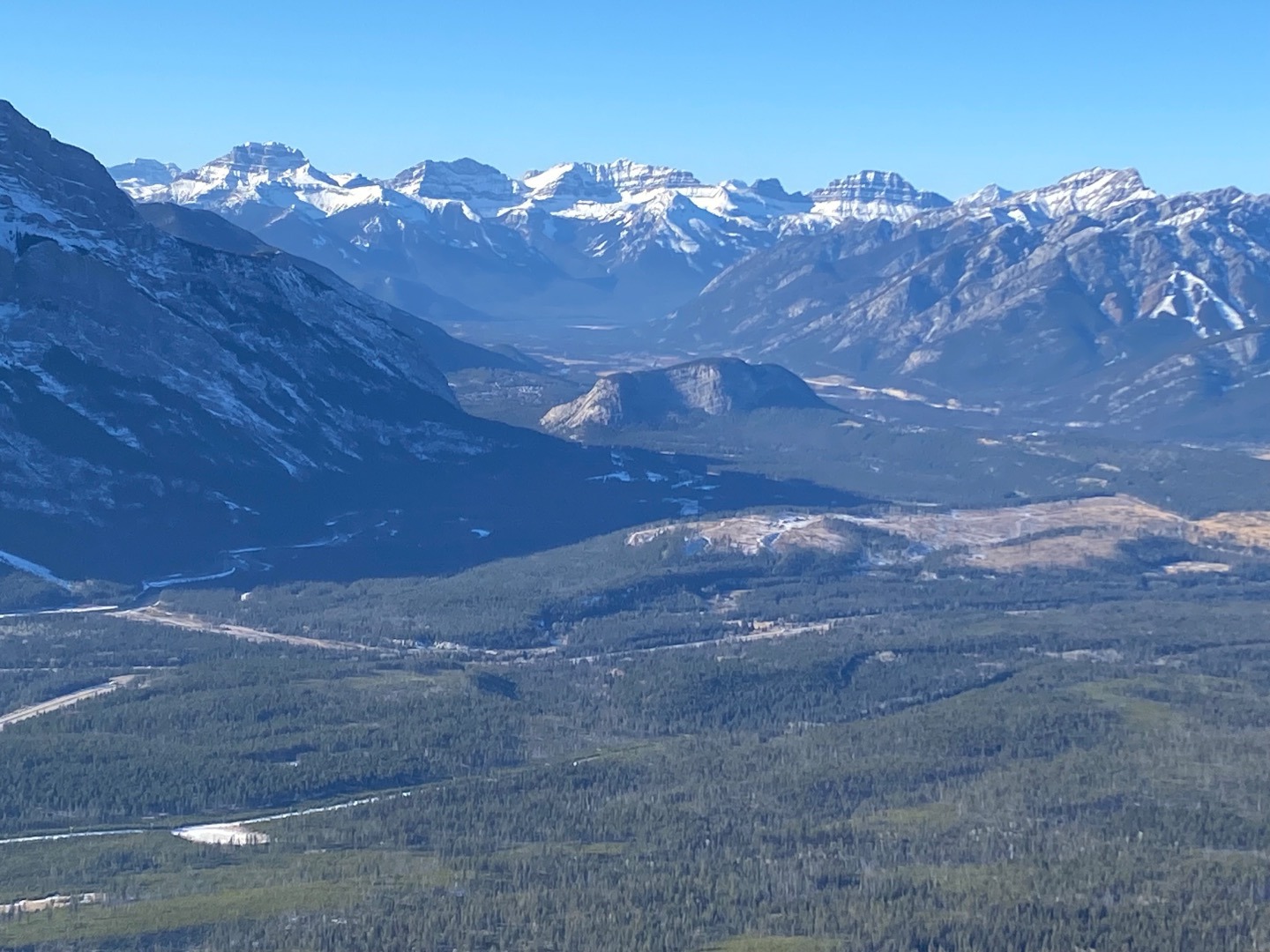
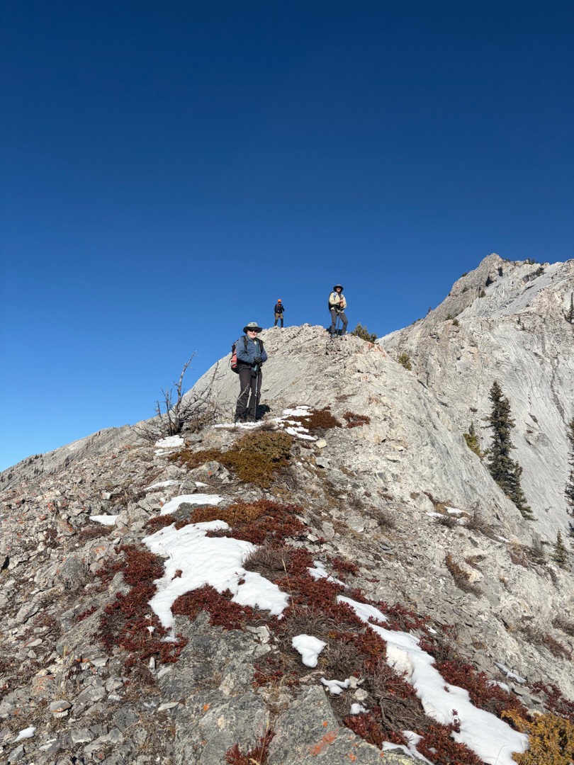
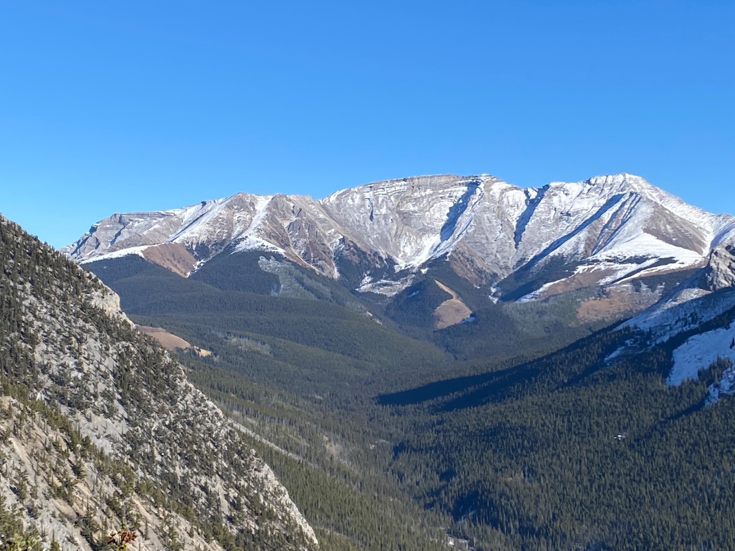
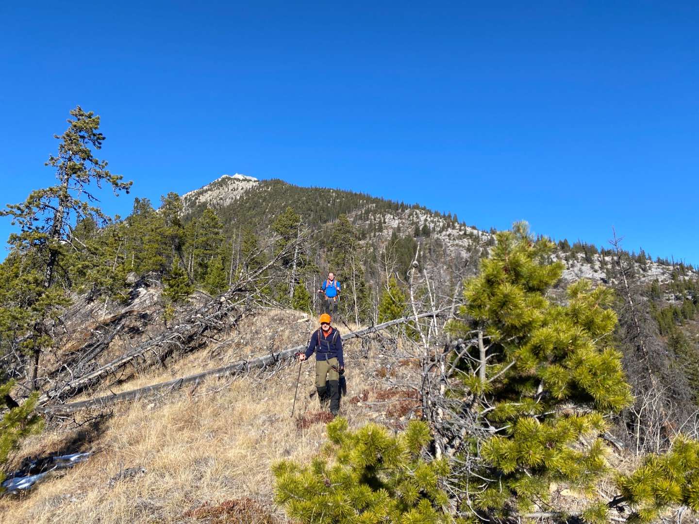
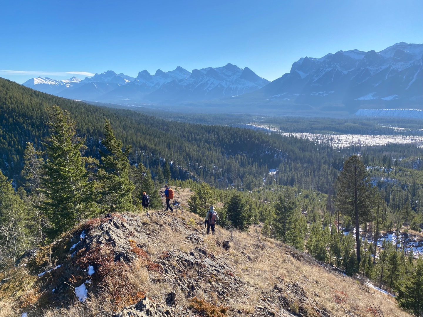
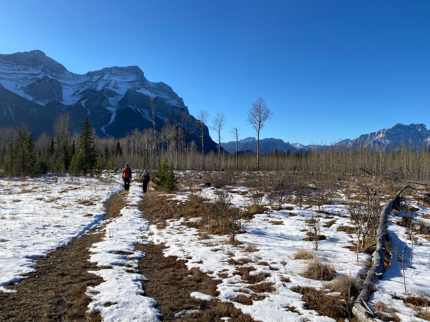
Peechee is a huge mountain by area (20-25 km2), and we've all glanced at it a thousand times when driving by. This trip goes nowhere near the summit but is a worthwhile shoulder season objective with unique views. An easy approach leads to a steady climb over a mix of open forest, slab, and scree; all of the elevation gain occurs in 2.5 km (pretty steady 36% grade). We started on a small ridge to the SW and contoured over to the main ridge in accordance with the recommendation from someone else's trip report; this worked well and had us in the open for longer than if we had just tried the main ridge from valley bottom. The route transitions to scrambling only near the top, and we stopped at an obvious point where SC6 (and, not long after, SC7) terrain starts. The views towards Carrot and Stenton peaks had me fantasizing about backpacking there, and it was cool to look in other directions and see Elaphus Peak (2023 backpacking trip) to the NW and Mt Temple far to the west.
We had two near misses on the trip, both of which had the coordinator's heart rate escalate probably higher than for the people involved. One person fell off a fairly innocuous ledge in the forest from a height of 1-1.5m. Fortunately they tucked and landed on level ground without hitting their head or hands; thank goodness for wearing a backpack. No root cause beyond a moment of inattention and an inconveniently-placed shrub. The second was a person slipping on scree-covered slab, which only had them travelling a couple of metres downhill but could have easily escalated in slightly steeper terrain. But it did raise our awareness of the potential for scree+slab, so we travelled more cautiously through those sections. Fortunately, no injuries and no resultant paperwork. :)
About 10 km/900m in 6 hours total.
Participants: Bill, Ingrid (coordinator), Rick, Paul