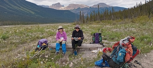
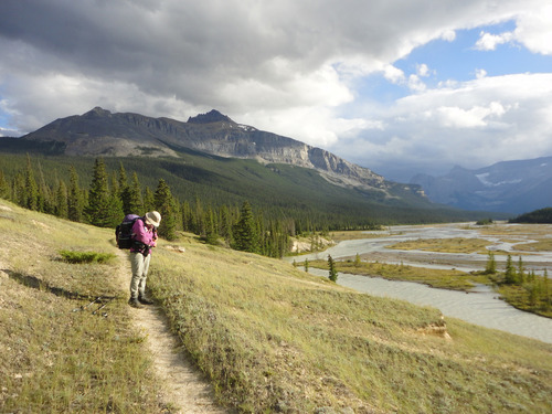
GDT: Section D: Takakawa Falls to Mistaya Canyon backpack on 8-Aug-20
We completed this strenuous backpack approximately as planned, but finishing late (9.30pm) on day 5. The weather was quasi-perfect with just a few showers and mixed sun and cloud. But the trail presented several surprises with some challenging route-finding, much bushwhacking, challenging river crossings (even on a bridge) and the descent of 2 boulder slopes.Some views especially of the Howse river flood plain were spectacular. Apart from mosquitoes, there was negligible wildlife but a few other backpackers.
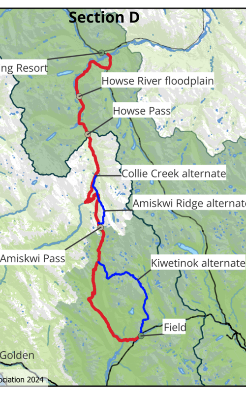
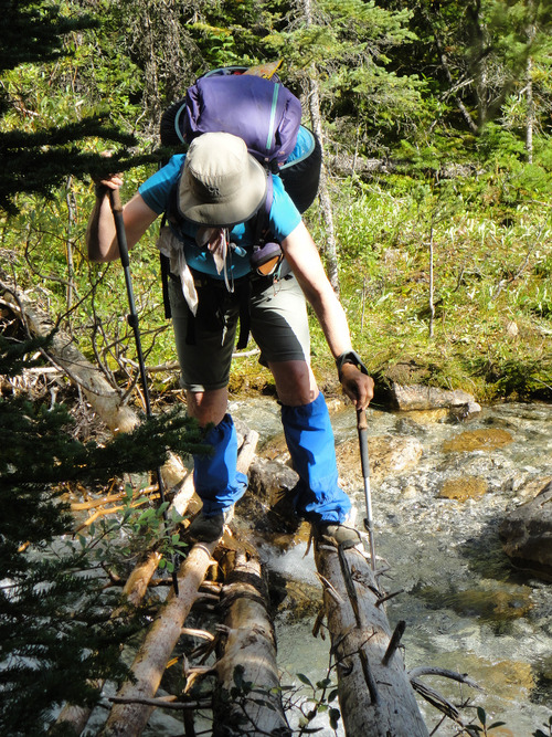
https://greatdividetrail.com/ lists this section D as 93 km with about 3,100m elevation gain and suggests 5 days at a relaxed pace. The website also comments: "While Section D is the shortest, it has been called the most difficult part of the GDT. For the most part you’ll be on unofficial and unmaintained trails where blowdowns, overgrown trail and washouts can be common. Creek crossings are largely unbridged, so be prepared to ford rivers and streams." We found all of this and more. It did not seem "relaxed" to me.
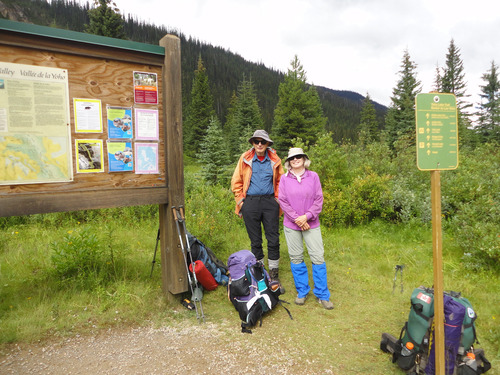
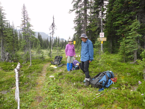
After a car shuttle, we left the busy Takakawa Falls car park about 12 noon on Friday 8 August 2025 and enjoyed a scenic afternoon on the Iceline trail to stay at the Stanley Mitchell ACC hut. There was a little rain but nothing serious. 5 1/2 hours.
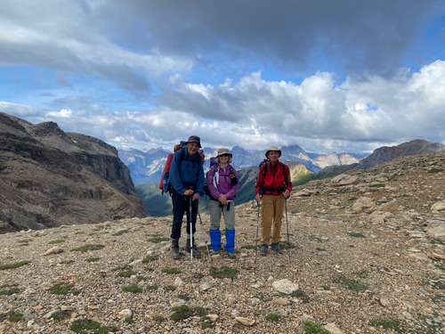
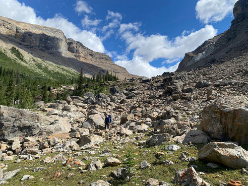
After a good night's sleep, we awoke on Saturday to find a helicopter evacuation of one guest who had heart problems.The hike up to Kiwetinok lake and pass was strenuous but on a good park trail. Cloudy views of the President, Mt. Kerr etc. In contrast, the descent over a boulder field to the Kiwetinok river was miserable.
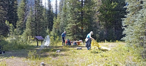
This was followed by a steep ascent to Kiwetinok gap and another miserable boulder field descent where we lost our way, only finding the forest trail by using the GDT app. We camped on the Amiskwi road about 6km south of Amiskwi Pass. An 11 hour hiking day.
Sunday 10 August, found us enjoying an early 11.30am lunch at Amiskwi Pass and park boundary.
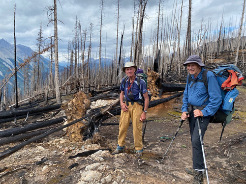
We had planned to hike the alternate route over Amiskwi (Crystal) ridge but rejected it for lack of time and followed the GDT north parallel to and above the smooth forestry road. This was okay, but the only real views were several kms north in a fire burn area where we enjoyed views of the Mummery group. There followed a steep descent to Collie Creek which was crossed on a stout bridge to camp near the Blaeberry river a little north. Another 11 hour hiking day.
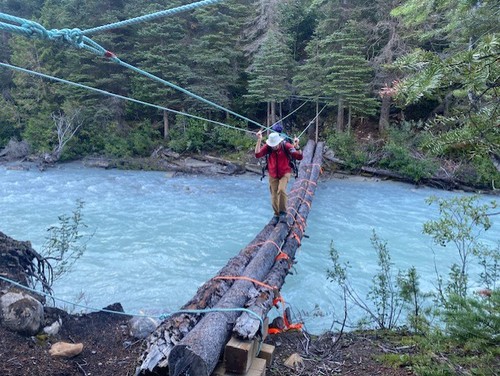
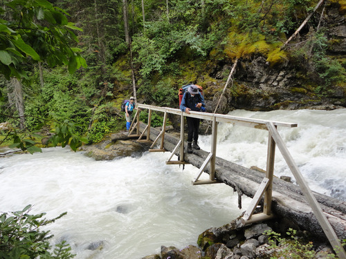
Monday 11 August was interesting. Firstly the Blaeberry River was crossed by a GDT bridge. Somewhat scary, for you could not make a mistake, though there were 2 pulleys to which you could have secured an emergency harness. The rough GDT trail was followed north via several more bridges to historic Howse pass at 3.30pm.
We emerged on the south end of the beautiful Howse floodplain at 6.15pm and random camped soon after. I think that it was late in the afternoon of this day when I tripped and stumbled heavily into a protruding tree end. It was very painful as my ribs were seriously bruised by the tree. Later I suffered shoulder pain which was treated with (Jane's) Tylenol. This day was only 10 1/2 hours of hiking.
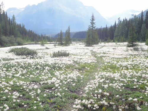
The sunrise on Tuesday 12 August was beautiful and indeed the walking on the actual plain was very pleasant.
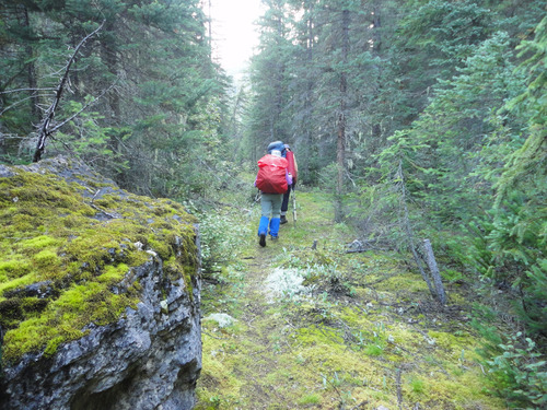
Unfortunately, this easy walking was frequently interrupted where the river abutted the banks forcing you into the forest where the trail was in very poor condition with frequent blow downs and bushwhacking. I did not remember any of this from my GDT through hike in 2006 and can only conclude that the river has moved and the trail never maintained by Parks Canada. We found it very frustrating and had to use the GDT app frequently to find the trail. What is wrong with some consistent flagging and actual trail maintenance? Eventually we reached the scenic Howse River campsite at 6.30pm. This was occupied by one couple and a group of 3 young men who had passed us much earlier. This campsite was about 6km from the cars and could be a worthwhile short backpack or day trip in itself. The views south down the floodplain were outstanding.
Unfortunately, I was exhausted, but after some discussion we decided to continue out. Walking faster solo, Bob went on alone, while Jane stayed back with me (David) as I plodded on north. When Bob reached the car, he dumped his pack and came back for mine, so I could finish without the pack weight. Thanks Bob. We reached the car at 9.30pm, 13 1/2 hrs day. Even this last 6km was festooned with about 20 blown down trees. Many of these required crawling underneath. This is supposed to be a Parks trail. We car shuttled to Takakawa Falls and then back to Calgary, where we arrived about 2.00am on the 13th. When unloading my car at home, I discovered a mouse, which was later trapped.
Quite the trip. In retrospect, I should have allowed 6 days. While I expected the Kiwetinok section to be rough (and it was), I did not expect the rather poor GDT trail conditions north of Amiskwi Pass. Especially I did not expect the Parks trails in the Howse floodplain to be so appalling. Manoeuvring around, over or under blown down trees was common. Watching the trail for rocks, protruding roots and overgrown alder was essential. IMO, it should not be necessary to to depend on the GDT app to follow the trail. This made for extra slow progress. Thanks greatly to Bob, Jane for their patience accompanying me David on this somewhat epic trip.
