Rimwall Summit Scramble on 9-Aug-2025
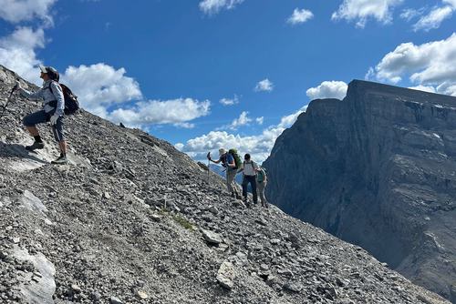
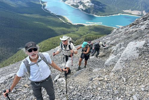
We had a lovely day. Up via the Open Source route, down via the west ridge.
We set off at 10.
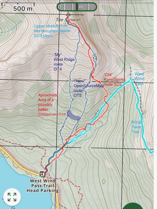
I had previously done this ascent veering off the "Standard" Kane/Spirko route after only 15 minutes and after another 15 minutes traversing left/west to a ridge to the west of the big gully. There is now a pretty much beaten trail up to that traverse left and it continues up to the right/east of the gully. We decided to continue up that trail which is marked on the OpenSource maps (which is what you see on Gaia and other mapping apps). In my opinion this turns out to be a less optimal route compared to the west ridge. It's fine, but higher up the trail is not defined and there are multiple ways to climb up to the ridge, much of which is OT5.
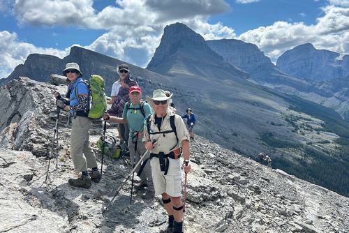
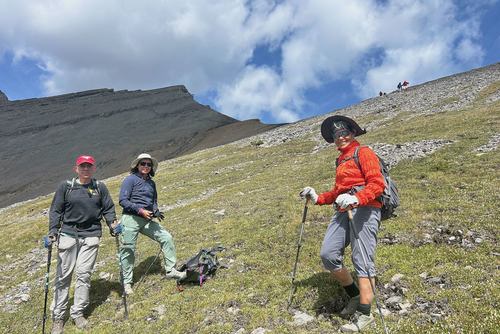
Some went left, some right and we did make it up to the summit ridge without any real scrambling. But my alternate route up that west ridge is NOT OT5, you do not use your hands at all, simply OT4 (which we confirmed on the return). The views were very nice once up into the open.
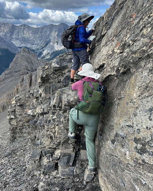
Once up to the ridge below the summit there is some unavoidable scrambling SC5.
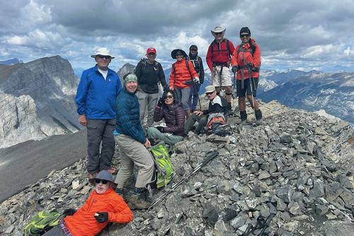
We were at the summit after 2 1/2 hours, shortly after a party of three young men about our kid's ages. And a little later two younger women joined us, who could probably be our grandchildren.
We did descend the west ridge (so that I could confirm my OT4) rating.
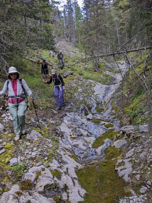
But, because we hadn't ascended that way, I was unable to determine where we could cut across the gully and join up with the ascent route at that 30 minute mark. This wasn't really a problem, the route down was pretty easy (hardly bushwhacking) and we eventually used a game trail to climb out of the gully and across to the West Wind Pass Trail.
Back at the cars at 3.
Many thanks to participants: Gary, Alda, Susan, Cordula, Clifton, Ulrike, Gary, Gary, and Jenny for joining me, Carl (C/S).
