Mt Crandell - Bear's Hump route Scramble on 24-Jul-2025
Participants: Simon, Maryse, Stephanie
Trip Distance: 11.56km, Elevation Gain: 1211m, Total time: 8h 40min
With the high winds in the forecast for Waterton we made the decision to flip the date of the trip to July 23rd when the winds would be less (35 - 45km gusts).
Once you get to the top of Bear's Hump you make your way up the ridge on a faint trail, due to the amount of rainfall, if there were previous footprints we could not find them. As Kane suggests, it's nearly impossible to describe a trail, and based on comfort level and forecast scramblers can choose to stay high on the ridge or drop below to avoid the winds on the narrow ridge.
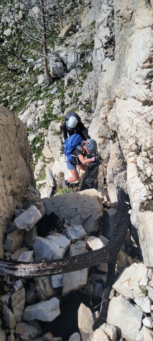
To get to the first part of the ridge there is one key downclimb to the left and then an almost immediate upclimb to the right, which take you up an exposed, yet good crack (good rock) to get to the ridge, which is still very tame.
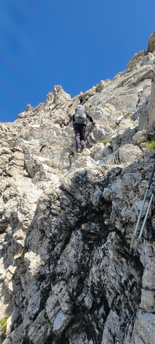
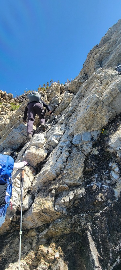
Again, as Kane suggests you can often follow the sheep trail as they will lead you (the safest way) along the side of the mountain, if you are avoiding the ridge. There were a few spots along the ridge, which were very exposed and narrow, and given the wind gusts and exposure, the group chose to drop below to the left and follow along the base of the ridge and then upclimb to a more reasonable section or break to regain the ridge. This offered many opportunities for excellent scrambling on great rock!
Due to winds and comfort, only Stephanie went to go and explore the crux along the ridge, but it required extreme care and a downclimb to the right of the chokestone, which no one was comfortable with. On a less windy day, an attempt to stay on the ridge would have been made, but one strong gust and the outcome would have been very dangerous.
The last kilometer to the summit it a simple hike, and the summit is expansive with a heli pad and lots of space to have a nice lunch.
On decent, we once again did as Kane suggested and chose to make a loop, trying to locate the southeast slopes to the best our ability. For 80% of the decent, the route down was lovely and marked with carins, and soft scree helping to give our knees a rest. However, at one point we were forced to make our way into the gully and towards the creek. Witt lower water levels, the gully and creek would have been far less hazardous, but the recent volume of rain had significantly increased the water level, and crossing over the creek and walking directly beside it proved challenging at times. As a result, some bush-bashing was required, but nothing that would be described as horrible.
A word of caution, although overall the rock is excellent, recent moisture proved to be one of the biggest crux's for the group, and even after testing all foot and hand-holds, one rock came loose under the a members body weight, sending them for a nasty spill, with the potential of extreme consequences. Fortunately, the only outcome was some scrapes on the shin. When tackling this route, extreme caution should be taken and rainfall volumes, and wind, amongst other elements should be evaluated before taking on the scramble. Moreover, route-finding can be tricky at time, so take your time.


