North Buller to Red Peak to South Buller Off-Trail hike on 25-Jul-2025
The group completed a scenic and varied traverse from North Buller Pass to Red Peak, descending via South Buller Pass. With dark clouds passing through and the potential for electrical storms, we maintained a brisk pace throughout the day.
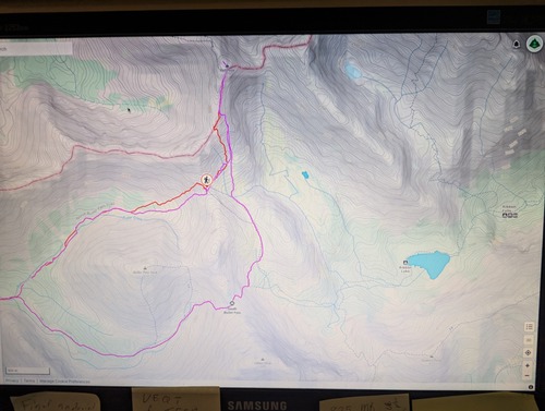
The GPX track I had for Red Peak suggested a higher ascent line, but we found a better line by trending climber’s right. However, our route still encountered loose ground and drainage ditches. On descent, we took an even further right-hand line (visible on the map), which in hindsight would have also been the preferable route for the ascent due to firmer footing.
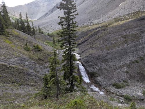
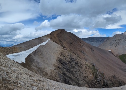
We enjoyed many beautiful and varied panoramic viewpoints. Highly recommended for strong hikers.
Distance: 19.0 km Elevation Gain: 1,239 m Time: 7.5 hours (8:30 am – 3:55 pm)
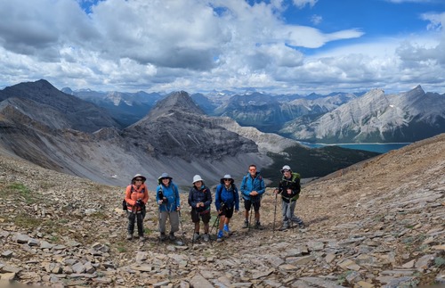
Participants: Gary, Ulrike, Ingrid, Deborah, John, Jenny


