Bellevue Hill Scramble on 25-Jul-2025
We had a lovely modest hike before the drive home from Waterton.
The marked trailhead (with parking) for the route we took is actually a km past the one that is in the Rambler database. I have to apologize for not checking this out earlier. Thankfully Annie had better info and came back to find us, and we were all able to park at the bottom of the Bob Spirko/Open Source track. We had heard that there was no trail and that the bushwhacking might be tough. It really wasn't, in fact it was mainly berrywhacking.
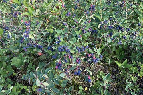
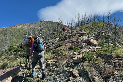
We went through acres of bush where you could easily pick several cups of saskatoon berries without moving your feet. The climb is pretty steep and we only intermittently were on a noticeable trail, but it really was fairly easy going (max OT5).
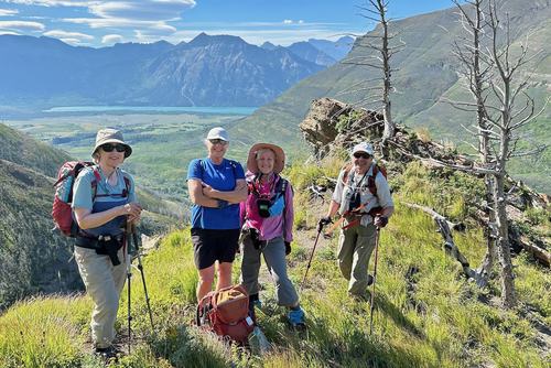
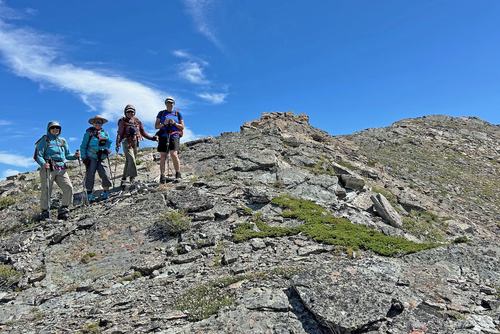
We got to the summit after almost exactly two hours.
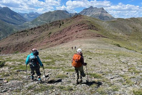
And took a nice break there. On the way up we had looked at alternate routes down and decided to try what I'll dub "RedBelle" ridge about a 1/2 km to the west.
That turned out to be a very nice option, we stayed pretty much on the upper edge that you see in the following photo. It was a little longer and therefore not as steep.
Nearing the bottom, a couple of us spotted a bear (presumably eating the berries) somewhat off our route. So we deviated a little further right and came down to the Red Rock Canyon road about 300 m west of the cars. All were quite pleased with the whole trip, and happy that we would be back to Calgary in late afternoon.
Only 6 km (seemed longer) with 750m ascent, a little over 4 hours.
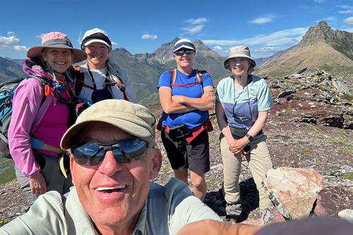
Many thanks to participants: Marietta, Teresa, Jane and Annie for joining me, Carl (C/S)
